


our locations
Both Tunsbergdalsvatnet and Styggevatnet are part of Norway’s National Electricity Grid for Hydropower. During the tours, we encourage discussion on nature and energy resources; what better place to think about these than where the two meet?


Tunsbergdalsvatnet
Tunsbergdalsvatnet was dammed in 1978, making what was once a two-km-long lake, at the end of a flat riverbed, into a seven-km-long lake. The lake now comes up to within two km of Norway’s longest glacier arm, Tunsbergdalsbreen. This lake/reservoir sits at 478m above sea level when full at the end of the summer, and can be drained 38m vertically for hydropower production. The top seven metres of this 38m deep reservoir hold more than 50% of its volume!
Styggevatnet
Styggevatnet is a newer hydro project, completed in 1989. This dam resulted in the connection of two small lakes (Styggevatnet and Austdalsvatnet) into a single reservoir of six km length and 90m depth. With its impressive altitude, 1,200m above sea level, Styggevatnet represents huge potential for hydropower production, with the water dropping a max of 1,180m vertically through the hydro turbines, producing the highest head-pressure on any turbines in Northern Europe. The reservoir also holds water that had the potential to flood the Jostedalen valley. Major flooding is now a thing of the past for Jostedal locals.
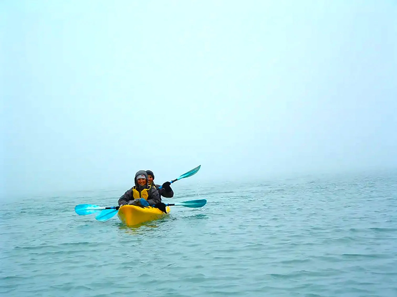
Of course, as well as providing a great source of energy to Norway’s National Grid, these lakes are now accessible to us by kayak, opening up wonderful, quiet, areas away from the masses, for exploration of glaciers and the best kayaking in Norway.
Nigardsbrevatnet
Nigardsbrevatnet is within a Nature Reserve (meaning the area has heavier protection than a National Park). The lake is 285m above sea level, the lowest altitude of the lakes we can kayak on in Jostedalen, and therefore is the lake we begin tours on in May and finish the season there in October when the other lakes are freezing.